
Walk a Henry County Street Directory From Parcel to Record
A Henry County address search works best as a chain of official clues. The assessor identifies the indexed owner, while the GIS fixes the parcel in space. Deeds show title transfers, and limited voter or telephone sources may add dated evidence about people. None of these alone establishes every person at a home.
- Normalize the address, then locate it in the county parcel GIS by full address or street-name fields. Record the parcel number, subdivision, ZIP, postal city, incorporation, and jurisdiction.
- Open the parcel's QPublic link. Copy the indexed owner, situs address, owner mailing address, and parcel number without treating the mailing address as proof of residence.
- Search the owner as a grantee in Henry Cott eSearch. Match the land by legal description and book/page, then follow each seller backward as an earlier grantee.
- For a lawful street study, a paid county voter file can be filtered by its structured residence fields. My Voter Page cannot browse a block.
- Use permits, certificates of occupancy, and the limited historical telephone books as dated supporting evidence. Ask the correct custodian for an existing address-based record when no portal exists.
Search Henry County Street Addresses in QPublic
The Henry County Tax Assessor QPublic search offers four verified routes. An address is the direct route for this street directory, while a parcel number avoids trouble with street spelling. Owner and subdivision modes help when the starting clue is broader.
| Search field | Input | Best use | Required |
|---|---|---|---|
| Owner Name | Text | Known indexed owner | One mode |
| Parcel Number | Text | Exact parcel match | One mode |
| Location Address | Text | Known building or lot | One mode |
| Subdivision | Text | Development-scale browse | One mode |
The card starts with Parcel ID and separates Owner Information from the property location. Henry keeps one owner mailing address per parcel or account and permits a care-of notation. A mailing change requires identification and an original handwritten signature by mail or in person, so the displayed address can lag a move.
Put a Henry County Street on the Parcel Map
The Henry County parcel map service is a spatial index, not just a picture. Search FULLADDRES or combine house number and street name, then zoom below the parcel-label scale and identify each polygon. The layer records parcel number, subdivision, zoning, acreage, floodplain, schools, voting district, commission district, ZIP, postal city, incorporation, and jurisdiction.
The official map-service screen shows the county layers and service details used in a Henry County street directory. Open the parcel MapServer source before viewing the captured interface.
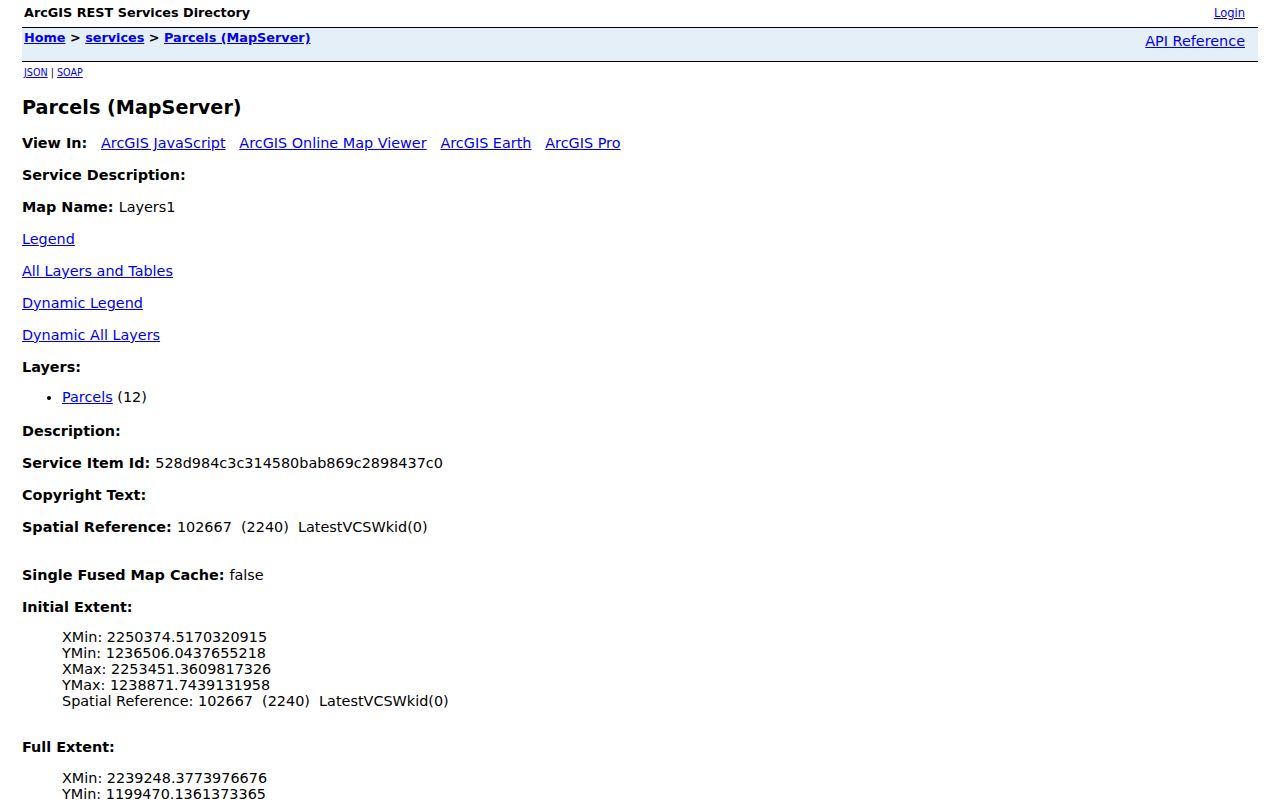
Use the map to fix each lot's geography, then follow its QPublic link because the GIS layer itself does not display owner names.
The parcel layer's query interface exposes the address components and QPublic link behind each map feature. Review parcel layer 12 to see the official field inventory.
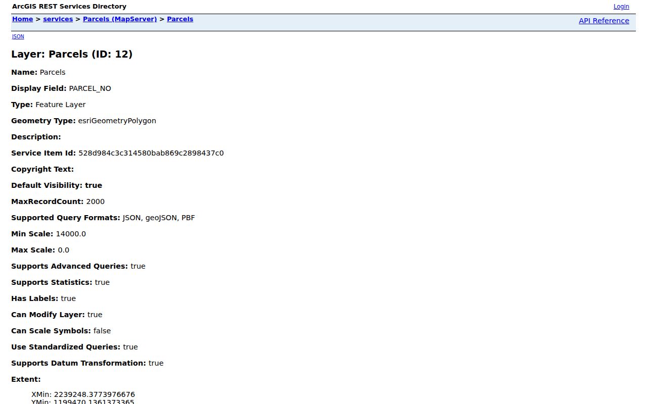
That field split is why postal city, ZIP, incorporation, and jurisdiction should be copied as separate facts.
Henry County Street Directory Sources by Address
Each Henry County source answers a different address question. The chain is strongest when the same parcel number, legal description, street text, and date agree across independent records.
| Record Set | Keeper | What It Shows | Access |
|---|---|---|---|
| Assessor card | Tax Assessor | Owner, one mailing address, parcel ID, situs | Free QPublic search |
| Parcel GIS | County GIS | Lots, address, subdivision, districts, ZIP | Free map and query |
| Deed index | Superior Court Clerk | Parties, date, instrument, book/page, land | Guest index; account for images |
| Voter county file | Georgia SOS | Registered, nonprotected voters with street fields | Paid electronic file; restricted use |
| Permit or CO | County or city office | Dated work and names as recorded | Targeted records request |
| Telephone books | LOC and library collections | Subscriber, address, telephone in limited years | Digital or onsite |
The parcel number connects GIS and assessment data. The deed's legal description carries the trail across road-name or mailing changes, while a date keeps old subscriber or permit evidence in the right era.
Keep a short source log for every lot. Record the portal name, search date, exact address entered, parcel number, and result used. A row with no match should also note spelling variants and whether the street suffix or directional was changed. This makes it possible to repeat the work after a roll updates and prevents a parcel clue from being confused with proof about a person.
Carry a Henry County Street Into the Deed Index
The Henry Cott eSearch divides local land access into a regular index with indexes and images from 1940 to the present and Online Index Books for 1822 through 1939. Guest access reaches index data; an account is needed for images. Record party role, instrument type, recording date, and book/page before requesting a copy.
The captured Henry deed and lien portal shows the entry point used after an owner has been found by address. Open Henry Cott eSearch for the current access terms.
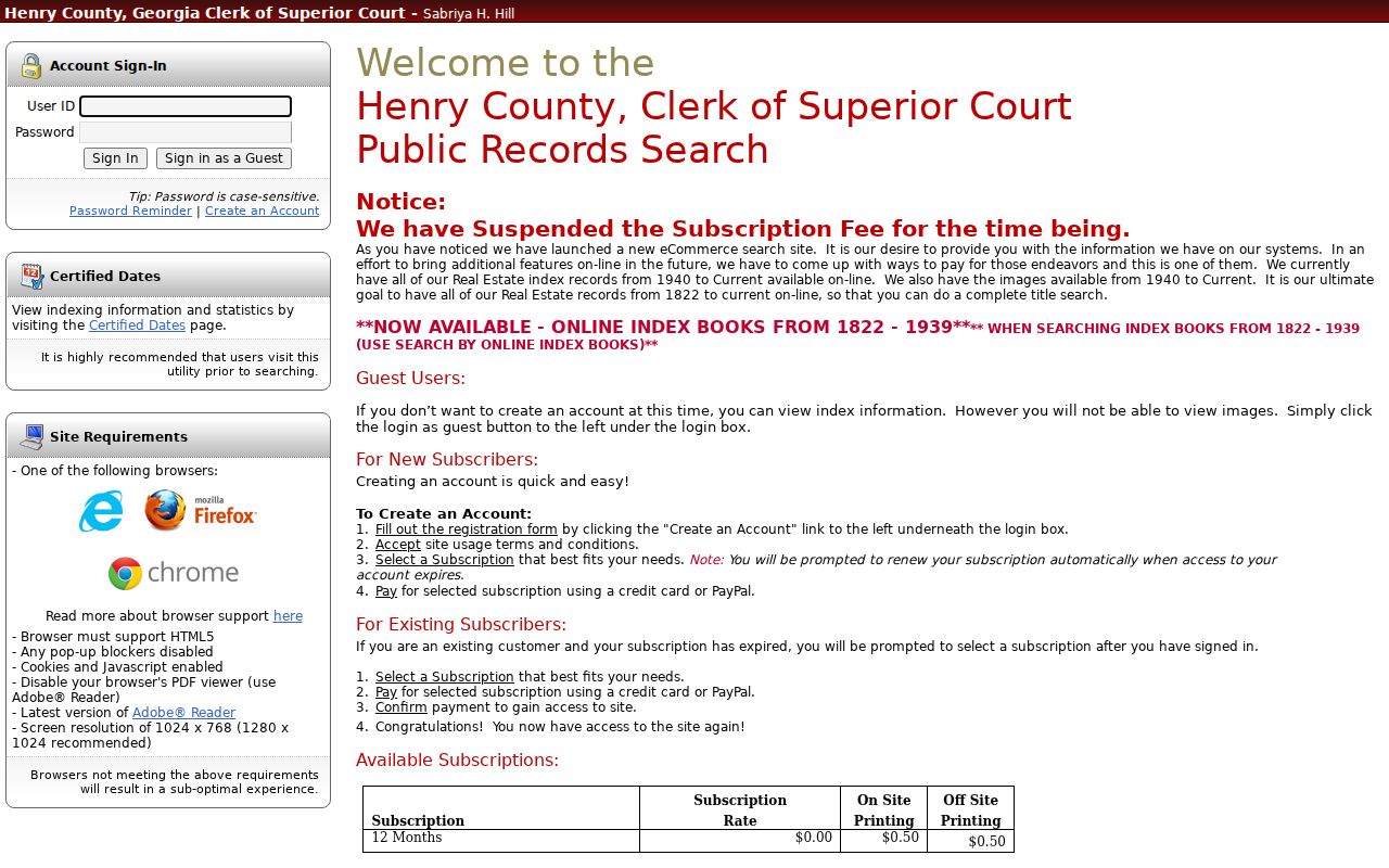
A name hit is only a candidate. Confirm subdivision, lot, block, land lot, district, counterpart party, and chronology before attaching it to the street parcel.
The GSCCCA statewide Real Estate Index is an alternate route with name, property, county book/page, date, party, and instrument searches. Henry's own split index remains the deeper local source.
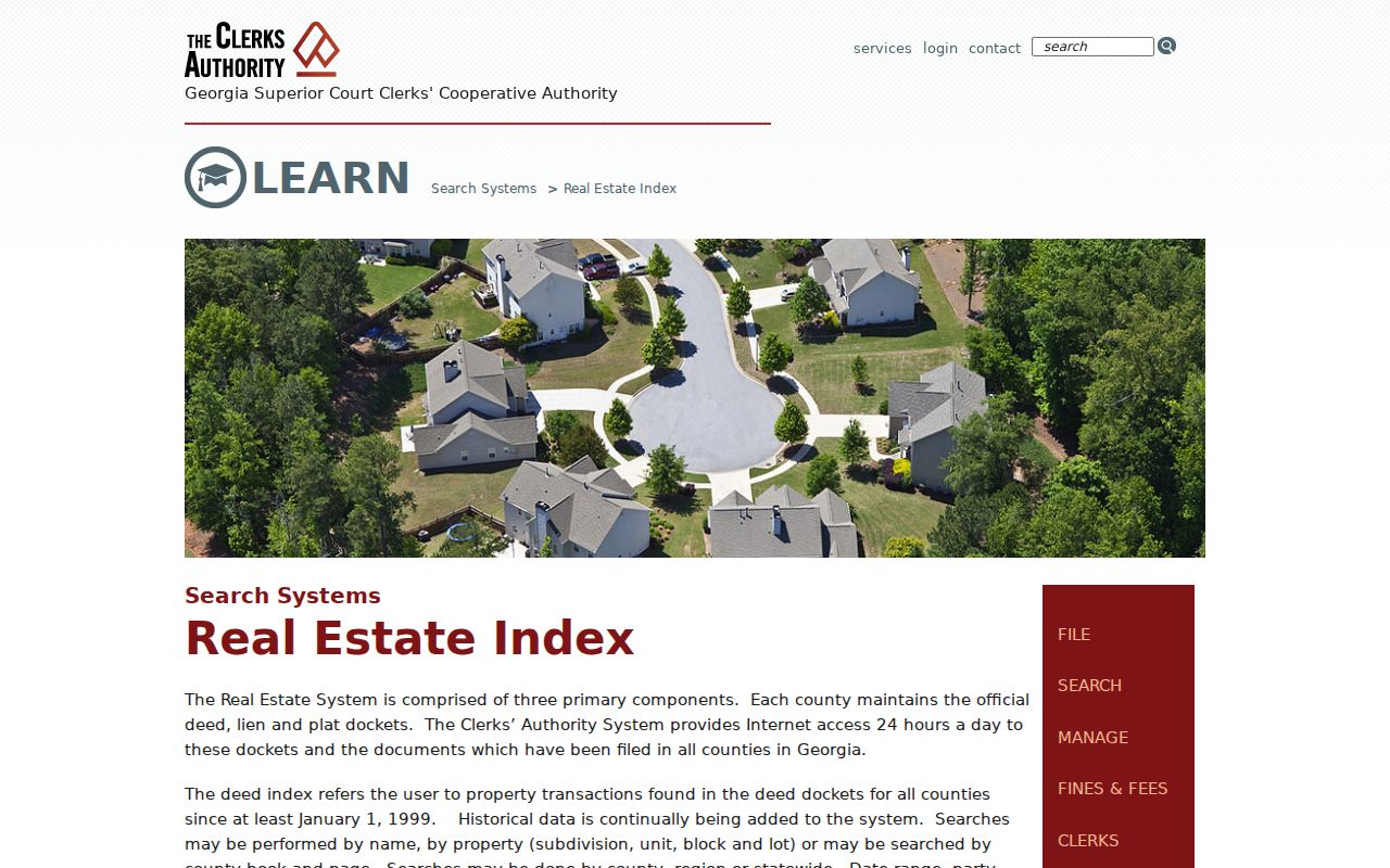
The statewide screen can cross-check a deed placement, but the legal description still controls the land match.
Recording date and execution date can differ. Follow the recorded sequence, then read the instrument itself before stating when title changed. Initials, suffixes, married names, company names, and recording errors can also split one owner's trail across several index forms. A book and page reference is useful even when the online image is unavailable because the clerk can use that placement to locate a copy.
Address Terms That Keep a Henry County Street Search Accurate
Four terms prevent common mix-ups in a street directory. They distinguish the mapped land, its physical address, the recorded land identity, and a historical directory form.
- Parcel
- A mapped tract with a county parcel number; it may contain a structure, vacant land, or more than one address element.
- Situs address
- The physical location assigned to the parcel, distinct from the owner's correspondence address.
- Plat
- A recorded survey or subdivision map that identifies lots, lines, and related land details.
- Criss-cross directory
- A historical directory arranged by street or telephone number rather than only by surname. No verified Henry County reverse-directory run was found.
Note: A legal description is often the most stable bridge when a postal label, street form, or municipal boundary has changed.
Use Henry County Voter Street Fields With Care
Georgia My Voter Page requires first initial, last name, county, and date of birth, so it confirms one supplied identity and cannot list a street. The separate paid county file contains structured residence number, directional, street name, type, unit, city, and ZIP fields. It also separates residence from mailing components.
A Henry County file costs $70, is usually delivered electronically in about two weeks, and has no expedited option. O.C.G.A. §21-2-225 governs access, while commercial use is prohibited by §21-2-601. Phone, full birth date, Social Security number, driver's-license number, and protected addresses are withheld. “Last Party Voted” refers to primary participation, never a vote cast or party registration.
Separate Henry County Postal City From Jurisdiction
A McDonough, Stockbridge, Hampton, Locust Grove, Ellenwood, Jonesboro, or Jackson mailing name does not establish city limits. Henry County GIS stores POSTALCITY, ZIP, INCORPORAT, and JURISDICTI as separate fields. Verify the parcel before choosing a custodian for permits or code records.
This matters on fringe ZIPs and in unincorporated land. It also guards against a historic trap: Stockbridge shifted about a mile south in 1882 to meet the railroad. An old place reference and a modern parcel may describe related land without sharing the same street wording.
Add Henry County Permits and Occupancy Records by Address
No verified countywide public permit portal was found. Use the Henry County record-type routing page to identify the office for building plans, permits, inspections, certificates of occupancy, covenants, or related files. Inside a municipality, first confirm incorporation in GIS and then use that city's custodian.
Ask for an existing record tied to an exact address, parcel ID, record type, and date range. Georgia's Open Records Act does not require an agency to answer research questions or create a new report. The usual three-business-day rule concerns production, a written timetable, or a cited basis for withholding, not guaranteed final delivery.
Limits of a Henry County Street Directory
The assessor identifies an owner, not all occupants. Deeds identify title parties, not everyone present between transfers. The voter file omits nonvoters and protected participants, while telephone books omit nonsubscribers. DMV and utility customer data are not public directory substitutes. A street search can therefore support a careful statement about a parcel, owner, record party, or dated subscriber, but not a complete household claim.
Lawful use. Use Henry County address records only for lawful personal research, such as family history, deed review, or civic questions. Never use address data to stalk, harass, threaten, or harm a person, and respect protected-address programs.
For a historic subscriber trail, use the Henry County city directory collections. When the question shifts from a whole street to the identity of one person, move to the resident lookup workflow rather than widening the address search.