
Henry County ZIP Directory Areas
Eight ZIP codes intersect Henry County. Four use the preferred postal cities Hampton, Locust Grove, McDonough, and Stockbridge. Three fringe codes use Jackson, Jonesboro, or Ellenwood, even though part of the delivery area reaches Henry. This coverage table describes postal geography, not an official city-limit map.
| ZIP | Henry Area Served | Postal City | Local Note |
|---|---|---|---|
| 30228 | West and southwest Henry, Hampton and nearby unincorporated land | Hampton | Post office at 998 Hwy 19/41; crosses boundaries |
| 30233 | Small southeast fringe | Jackson | Centered in Butts County |
| 30236 | Small northwest fringe | Jonesboro | Centered in Clayton County |
| 30248 | Southern county, Locust Grove and nearby unincorporated land | Locust Grove | Post office at 4050 Hwy 42 S |
| 30252 | East and northeast postal area, including unincorporated east Henry | McDonough | Not the same as McDonough city limits |
| 30253 | Central and west postal area, including the county complex | McDonough | Post office at 100 Postmaster Dr. |
| 30281 | North and west Henry and Stockbridge postal territory | Stockbridge | Extends beyond Stockbridge city limits |
| 30294 | Northern fringe | Ellenwood | Also covers DeKalb and Clayton territory |
No official source verified a PO-box-only or unique institutional ZIP within Henry County. That gap matters. The postal directory should not create a category merely to make the list look complete. The eight entries above are intersecting service areas, including the three whose preferred city lies outside the county.
Compare Henry County McDonough ZIPs
McDonough appears under two major postal codes. ZIP 30252 covers the east and northeast postal area and much of unincorporated east Henry. ZIP 30253 covers central and western territory and includes the county complex. Neither code is a clean outline of the incorporated city. A resident lookup that assumes every McDonough mailing address is inside McDonough can be sent to the wrong records custodian.
First verify the full address with USPS. Then check `POSTALCITY`, `ZIP`, `INCORPORAT`, and `JURISDICTI` in the county parcel layer. Those are separate map fields because they answer separate questions. The mailing code routes delivery; incorporated status and jurisdiction identify the government that may keep local permits, code cases, meeting records, or municipal court files.
Note: The McDonough name on an envelope is a delivery label, not proof that the parcel lies within McDonough's incorporated boundary.
Henry County Fringe ZIP Codes
Jackson 30233 reaches a small southeast edge of Henry although its postal center is in Butts County. Jonesboro 30236 reaches a small northwest edge while centered in Clayton County. Ellenwood 30294 enters northern Henry and also serves parts of DeKalb and Clayton. These are not stray errors. ZIP service areas can cross the political lines that decide taxation, courts, schools, and record custody.
The same rule applies inside the county. Hampton 30228, Locust Grove 30248, and Stockbridge 30281 extend into unincorporated areas. A searcher should not discard a Henry County record because the mailing city seems to name another county, and should not assume a city clerk is the custodian merely because that city appears in the address.
Boundary check. Match the USPS result to Henry GIS before choosing a custodian, especially for Jackson, Jonesboro, Ellenwood, or an unincorporated address.
Search Henry County Residents by ZIP
Only use tools that truly support the needed search. The county parcel GIS has an explicit ZIP field and can query, sort, return distinct values, calculate statistics, and browse mapped parcels. QPublic's verified search modes are owner, parcel number, location address, and subdivision, not ZIP. My Voter Page confirms one person with identity inputs and does not enumerate a postal area.
- Use the USPS ZIP Code Lookup to verify the full address or find addresses associated with a city and state.
- Open Henry County GIS, query the ZIP field, and inspect the parcel's postal city, incorporation, and jurisdiction.
- Follow the parcel's QPublic link when ownership is relevant. Keep situs address separate from the owner's mailing address.
- For an authorized voter-file use, filter its structured residence ZIP and street fields. Do not treat My Voter Page as a ZIP browse.
- Once the area narrows to a road, use the Henry County street directory for the parcel-by-parcel record trail.
The official USPS screen shows the postal verification step before county records are searched.
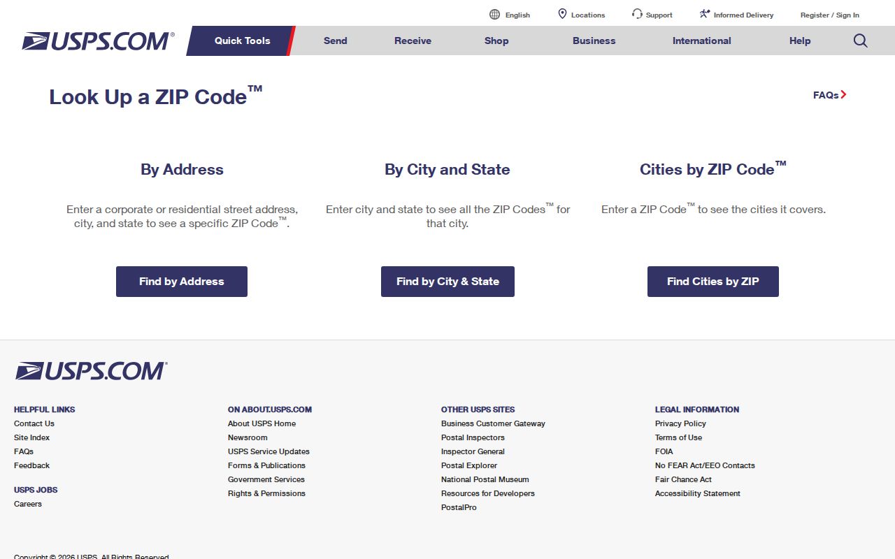
That result should be treated as a delivery answer, then paired with the parcel map for local boundaries.
Query Henry County ZIP Geography
The county parcel layer offers the most direct ZIP-capable official record tool found in the research. It can locate parcels by `FULLADDRES`, return a `ZIP`, and report `POSTALCITY`, `INCORPORAT`, and `JURISDICTI`. It also carries subdivision, zoning, voting district, school zones, commission and legislative districts, floodplain, acreage, and a deep link to QPublic. The map layer itself does not expose owner names.
| GIS Field | What It Answers | Search Use |
|---|---|---|
| ZIP | Postal code assigned to the parcel address | Filter or group parcels by code |
| POSTALCITY | Mailing city label | Explain the city name on mail |
| INCORPORAT | Incorporated status | Check whether a city government applies |
| JURISDICTI | Mapped local jurisdiction | Choose the likely local custodian |
| FULLADDRES | Complete situs address | Move from postal area to parcel |
| QPublic | Link to the assessor record | Open ownership and mailing details |
The Henry County interactive GIS item was created in 2024 and updated in November 2025.
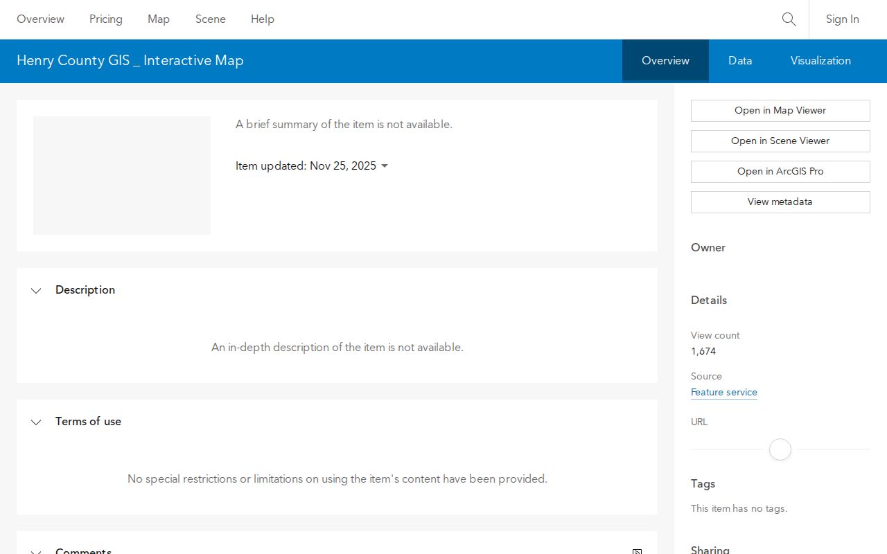
Its recent update makes it the timely map check, though each record still represents the data available on its own update date.
GIS supports a maximum return of 2,000 records. Broad ZIP exports may therefore require smaller queries or pagination. For one parcel or a short street, that limit is unlikely to matter.
Henry County ZIPs Versus Limits
A ZIP code is built for mail delivery, while a city or county line defines government territory. They often overlap, but they are not interchangeable. School, tax, police, permit, court, and open-record responsibilities follow their own jurisdictions. A postal city also does not change the county where a parcel is located.
- ZIP code
- A five-digit USPS delivery area that can cross city and county boundaries.
- ZIP+4
- The basic ZIP plus four digits that narrow delivery to a smaller route, block, building, or recipient group.
- PO-box ZIP
- A code used chiefly for post-office boxes. None was verified as Henry-specific in the research.
- Unique ZIP
- A code assigned to a single very large recipient. No Henry example was verified.
- Carrier route
- A delivery path within a ZIP, useful for mail operations but not the same as a political district.
Situs is the parcel's physical address. The owner mailing address is where assessment correspondence goes and may be elsewhere. A legal description identifies land through a land lot and district, subdivision lot and block, or metes-and-bounds description. That legal description is the durable link when a road name, mailing city, or ZIP changes.
Route Henry County ZIP Records
Once GIS establishes the jurisdiction, send a request to the office that keeps that record. The McDonough City Clerk handles city records such as adopted laws, contracts, minutes, agendas, ordinances, elections, and open-record requests. That office is not automatically responsible for every address carrying a McDonough postal name.
The city clerk screen illustrates why the jurisdiction check comes before the request.
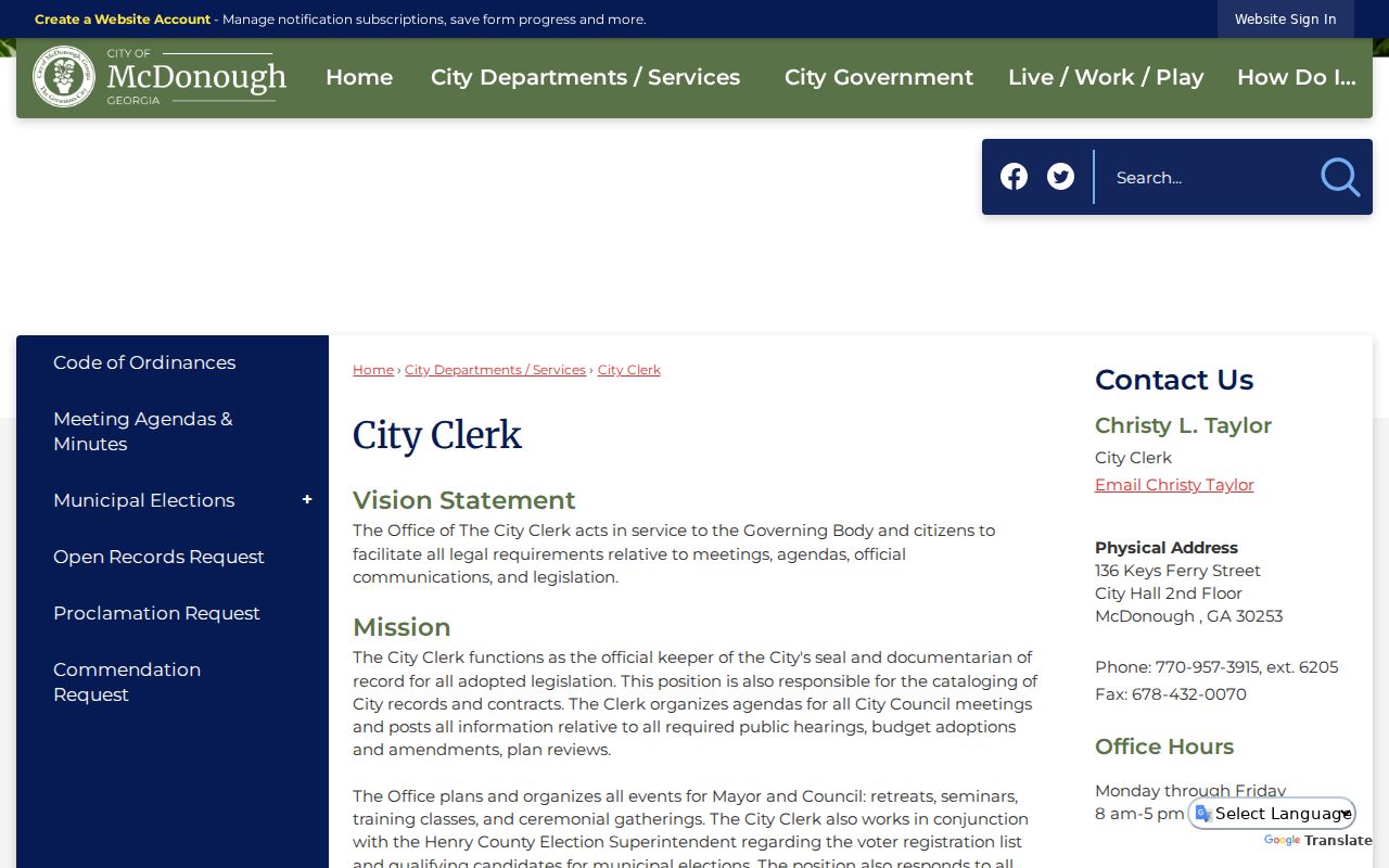
A parcel outside the city should instead follow Henry County's record-type routing or another municipality's clerk channel.
Hampton's clerk handles municipal records at 17 E Main Street S, while Locust Grove administration handles its open records, minutes, codes, and licensing files at 3644 Highway 42. Stockbridge municipal routing was not reliably verified in the research, so the safe course is to confirm the current custodian rather than infer it from ZIP 30281.
Stockbridge Changed Henry County Geography
Stockbridge grew near Concord Methodist Church in 1829, then moved roughly one mile south in 1882 to meet the railroad. That local history is a warning for searches that join an old place name to a current ZIP. A household, church, business, or parcel can appear under different geographic labels over time without making the move that a modern map seems to imply.
Early county boundaries also changed after Henry County's creation in 1821. Historical land may now fall in a successor county. For family or property research, follow the deed's legal description and the date's boundary, not a present-day postal code alone. Modern postal codes are useful search filters, but they should not be projected backward onto nineteenth-century records.
McDonough's Early Mail Routes
USPS records McDonough among Georgia's early Rural Free Delivery offices, with routes established January 2, 1900. That detail shows why postal geography and resident research have long been connected in Henry County. Rural delivery gave homes outside the town center a structured mail route, but it still did not make those homes part of the incorporated city.
Today, 30252 and 30253 continue that broad postal identity across McDonough and unincorporated territory. The delivery name helps organize addresses, while the parcel fields decide the jurisdiction question. Keeping those roles separate is the central habit behind an accurate Henry County postal directory.
Keep Henry County ZIP Results Accurate
Postal and parcel data change on different schedules. Save the full standardized address and the date of the USPS check. In GIS, record the parcel number, ZIP, postal city, incorporated status, jurisdiction, and QPublic link. If an ownership question follows, note that QPublic's mailing address is assessment correspondence and does not prove who occupies the situs address.
A missing name is not proof that no resident is present. Parcel records identify owners, not all household members. My Voter Page only confirms a person when the required identity fields match, and protected voters may be withheld from other election data. Official records should be cited by source and date rather than blended into a timeless resident list.
Use postal data lawfully. ZIP searches can narrow public geography, but they must never be used to stalk, harass, or expose protected residents.
For a record that is not online, request an existing file from the verified custodian. Georgia's Open Records Act response period is generally three business days for production when practical or a proper written timetable, not guaranteed final completion. Ask for named fields and a date range; an agency does not have to create a new ZIP report.